Wednesday, August 9, 2023
Just wanted to share a cool (in every way) drive up the Pinal Mountains with Hinde S. yesterday.
Although our regular entrance to bird the Pinals along Russell Gulch was blocked, we drove farther into Globe to the second sign for access. Lack of sufficient signage along the way got us lost. When we spotted some workers in a parking lot, we asked them for help. One pulled out his phone, showed us on a map the directions that would get us to the intersection with the Russell Gulch road where it turned west. Then we knew where we were. I'll copy driving directions at the end of the blog that I hope are accurate.
We picked up enough birds along Kellner Canyon Road (labeled as Picnic Area in post to eBird) to make a short list of lowland species.
Continuing on up to Sulfide del Rey Campground, we marveled at our ability to drive with windows open, breathing fresh air. Our only traffic on the dirt road to the peak (and back) was a large white truck that maneuvered efficiently around us at a pull-off. Feeling like we had the mountain to ourselves was no help in identifying birds that flitted across in front of the car into thick bushes or leafy trees. As well-known "birders", we laughed at our inability to quickly ID these clever low-flying fast birds. We missed many.
Except for our first stop at Sulfide del Rey CG, our trip up the mountain seemed like we were out for a slow Sunday drive. We walked quite a bit at the CG where, in addition to driving a bit, we were able to cobble together a list of 13 species.
Birding the Peak begins at 7,000 feet and above. Our only stop along the way to the Peak was at the Ferndell Campground where we paused for lunch. One of the three campsites was occupied but we saw no one.
Hinde
Although the air was refreshing and appeared clear, taking good photos became a problem. A month ago, I had read and re-read the handbook that accompanied my new camera (thanks, Duane) but it seems I had forgotten some material adjustments to deal with the haze. Thus, after several attempts at good photos, I stopped using the camera. Photos I did take are below:
WOODHOUSE'S SCRUB JAY - above
SPOTTED TOWHEE - above
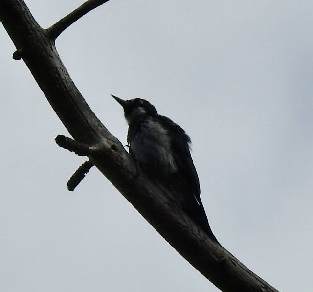
ACORN WOODPECKER - above and below
Unable to take photos through my windshield (very buggy and dusty), I couldn't get out of my car without scaring off our best sighting of the day: ZONE-TAILED HAWK. It circled around us then dropped lower and flew directly toward and low over the car in its final loop. OMG! We were provided the best look I've ever had of that raptor. What a thrill!
Photo of Zone-tailed hawk below is from the internet. That's how close it appeared to us.
So, we plan to return to the Pinals in October and again next spring. It's not the easiest place to bird, but we sure do like it.
View this checklist online at https://ebird.org/checklist/S146830105
View this checklist online at https://ebird.org/checklist/S146858352
View this checklist online at https://ebird.org/checklist/S146858662
* * *
Directions to Pinal Mountain from signage after crossing the big bridge into Globe. The turn is where a former Chinese restaurant has been converted into something else. On the right side of the turn is a Barnet-Delaney-Perkins building.
If you're smart, you'll find your way with Google Maps:
After you get out of Globe, most roads will be dirt. Stay on that first turn-off road from US 60 (paved) until you come to BEER TREE Road The only way to turn is Right. Go under the blue bridge. Turn left on Jessie Hayes; go over the wash and continue. A very short distance past the turn for Besh-Begowah, turn Right on Ice House Cyn Road. Turn Right onto Kellner Cyn Road which will lead upward to where it meets Russell Gulch Road. At that intersection, turn left to begin your trek up to Pinal Peak.
* * *


